Rock Lick Cr At State Hwy 158 Nr Sharkey, Ky Sta D Water Level
Current Elevation
Sensor OfflineWater Temperature
70.5° F
Warm
Pleasant temperature. Great for kayaking, paddleboarding, and active swimming.
Map & Location
GPS: 38.24730198°N, -83.58935670°W
❓ Frequently Asked Questions
Where is Rock Lick Cr At State Hwy 158 Nr Sharkey, Ky Sta D located?
Rock Lick Cr At State Hwy 158 Nr Sharkey, Ky Sta D is a Lake located in Kentucky. The exact GPS coordinates are 38.24730198°N, -83.58935670°W. You can use these coordinates to get driving directions via Google Maps.
What is the current water temperature at Rock Lick Cr At State Hwy 158 Nr Sharkey, Ky Sta D?
The latest recorded water temperature at Rock Lick Cr At State Hwy 158 Nr Sharkey, Ky Sta D is 70.5°F, which is classified as "Warm". Pleasant temperature. Great for kayaking, paddleboarding, and active swimming.
What is the current flow rate at Rock Lick Cr At State Hwy 158 Nr Sharkey, Ky Sta D?
The most recent discharge measurement at Rock Lick Cr At State Hwy 158 Nr Sharkey, Ky Sta D is 2 cubic feet per second (cfs). This data is provided by USGS and is updated daily.
Is it safe to swim or boat at Rock Lick Cr At State Hwy 158 Nr Sharkey, Ky Sta D?
Safety conditions at Rock Lick Cr At State Hwy 158 Nr Sharkey, Ky Sta D depend on current water levels, flow rates, temperature, and weather. Always check the latest data on this page before planning any water activities. Current water temperature is 70.5°F. We recommend checking local advisories and weather forecasts for the most up-to-date safety information.
Is Rock Lick Cr At State Hwy 158 Nr Sharkey, Ky Sta D good for fishing?
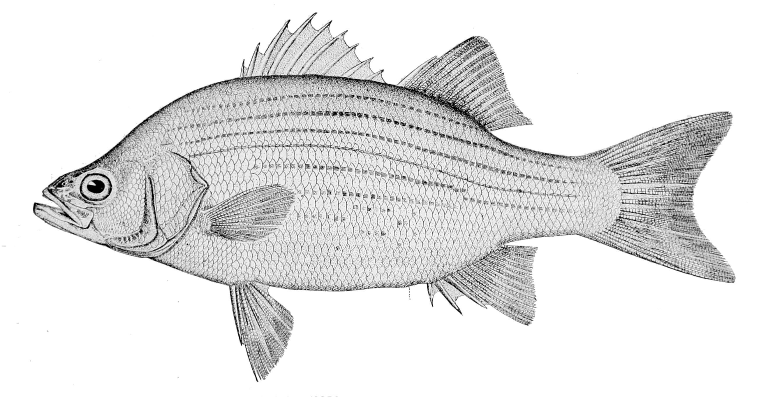
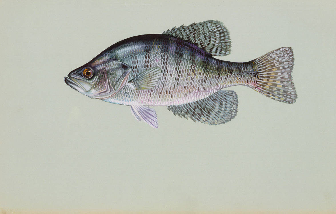
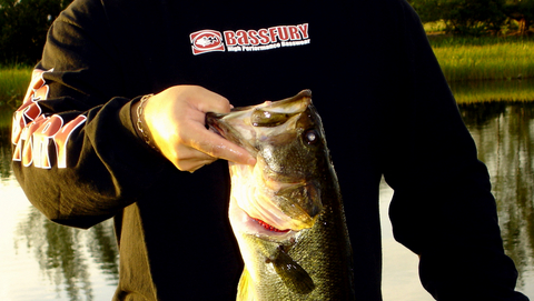
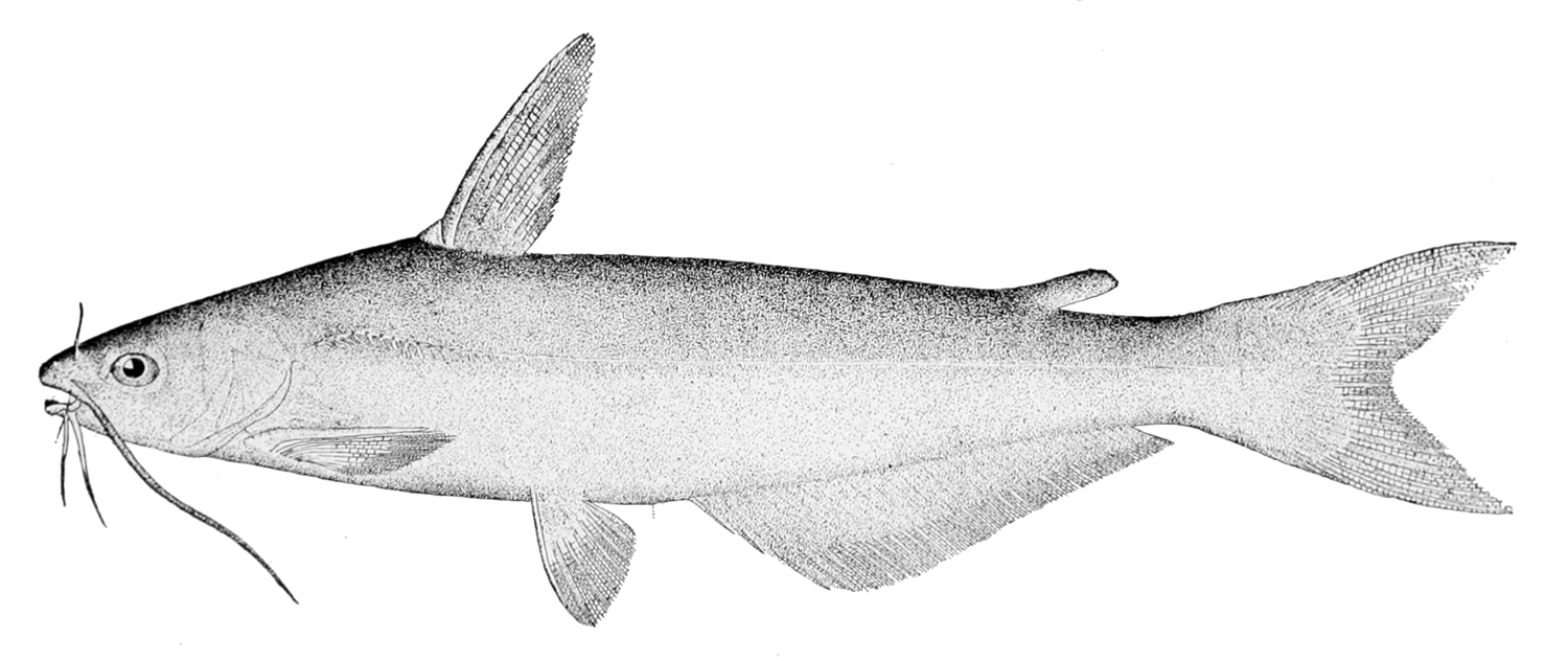
Rock Lick Cr At State Hwy 158 Nr Sharkey, Ky Sta D in Kentucky is a popular destination for anglers. With a current water temperature of 70.5°F, conditions are suitable for warm-water species like catfish, crappie, and largemouth bass. Always verify you have the appropriate state fishing license.
Other Water Bodies in Kentucky
Green River At Lock 2 At Calhoun, Ky
river
Green River At Paradise, Ky
river
Nolin River At Kyrock, Ky
river
Rough River Near Falls Of Rough At Dam, Ky
river
N Elkhorn Cr At Winchester Rd Nr Lexington, Ky
lake
South Fork Kentucky River At Booneville, Ky
river
Cumberland R At Pine St Br At Pineville, Ky
lake
Poor Fork At Cumberland, Ky
lake
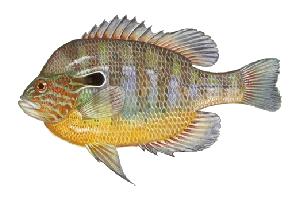
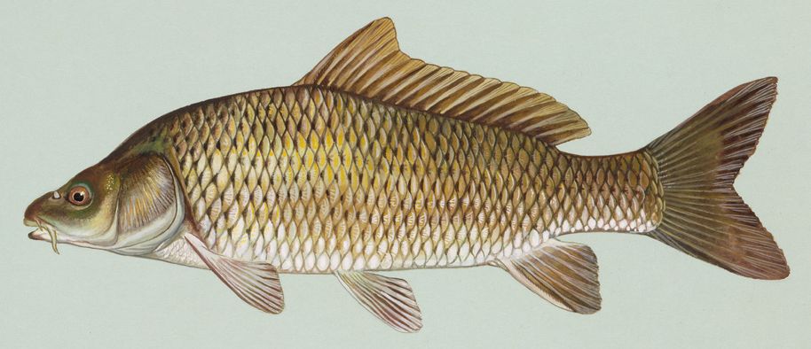
🐟 Fish Species at This Location
Based on the current water temperature of 70.5°F, these species are actively feeding in Kentucky.
🎣 Fished at Rock Lick Cr At State Hwy 158 Nr Sharkey, Ky Sta D?
Share your catch and help fellow anglers plan their next trip!
📝 Submit a Fishing Report →Location Details
- State: Kentucky
- Type: Lake
- Data Source: USGS
- Site Code: 03250322