Rough River Near Falls Of Rough At Dam, Ky Water Level
Current Elevation
36.14 ftWater Temperature
68.9° F
Warm
Pleasant temperature. Great for kayaking, paddleboarding, and active swimming.
30-Day Water Level Trend
Map & Location
GPS: 37.62199988°N, -86.50414740°W
❓ Frequently Asked Questions
Where is Rough River Near Falls Of Rough At Dam, Ky located?
Rough River Near Falls Of Rough At Dam, Ky is a River located in Kentucky. The exact GPS coordinates are 37.62199988°N, -86.50414740°W. You can use these coordinates to get driving directions via Google Maps.
What is the Rough River Near Falls Of Rough At Dam, Ky water level today?
As of June 18, 2026, the water surface elevation at Rough River Near Falls Of Rough At Dam, Ky is 36.14 feet above sea level.
What is the current water temperature at Rough River Near Falls Of Rough At Dam, Ky?
The latest recorded water temperature at Rough River Near Falls Of Rough At Dam, Ky is 68.9°F, which is classified as "Warm". Pleasant temperature. Great for kayaking, paddleboarding, and active swimming.
Is it safe to swim or boat at Rough River Near Falls Of Rough At Dam, Ky?
Safety conditions at Rough River Near Falls Of Rough At Dam, Ky depend on current water levels, flow rates, temperature, and weather. Always check the latest data on this page before planning any water activities. Current water temperature is 68.9°F. We recommend checking local advisories and weather forecasts for the most up-to-date safety information.
Is Rough River Near Falls Of Rough At Dam, Ky good for fishing?
Rough River Near Falls Of Rough At Dam, Ky in Kentucky is a popular destination for anglers. With a current water temperature of 68.9°F, conditions are suitable for warm-water species like catfish, crappie, and largemouth bass. Always verify you have the appropriate state fishing license.
Other Water Bodies in Kentucky
Little Sandy River Below Grayson Dam Near Leon, Ky
river
Northern Ditch At Okolona, Ky
lake
Elkhorn Creek Near Frankfort, Ky
river
Licking River At Hwy 536 Near Alexandria, Ky
river
Floyds Fork Near Mt Washington, Ky
lake
Green River At Rockport, Ky
river
Kentucky River At Lock 11 Near College Hill, Ky
river
Elkhorn Creek At Burdine, Ky
river
🐟 Fish Species at This Location
Based on the current water temperature of 68.9°F, these species are actively feeding in Kentucky.
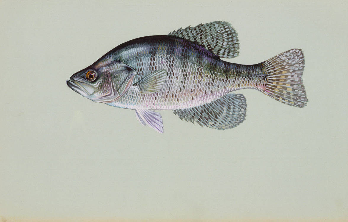
White Crappie
Pomoxis annularis
✓ Optimal Temp
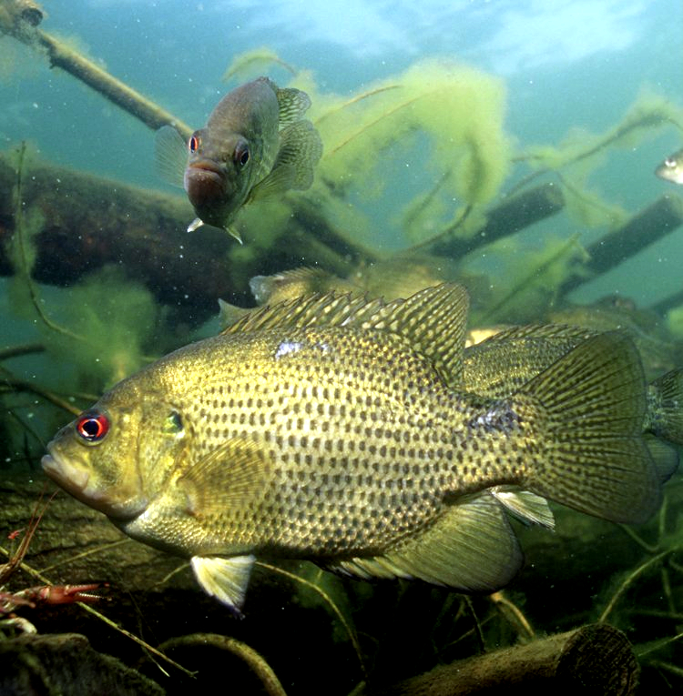
Rock Bass (Goggle-eye)
Ambloplites rupestris
✓ Optimal Temp
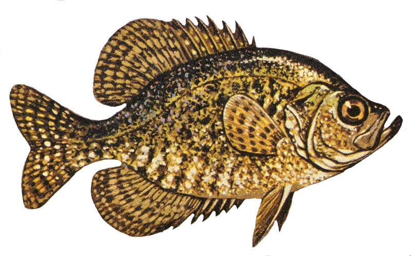
Black Crappie
Pomoxis nigromaculatus
✓ Optimal Temp
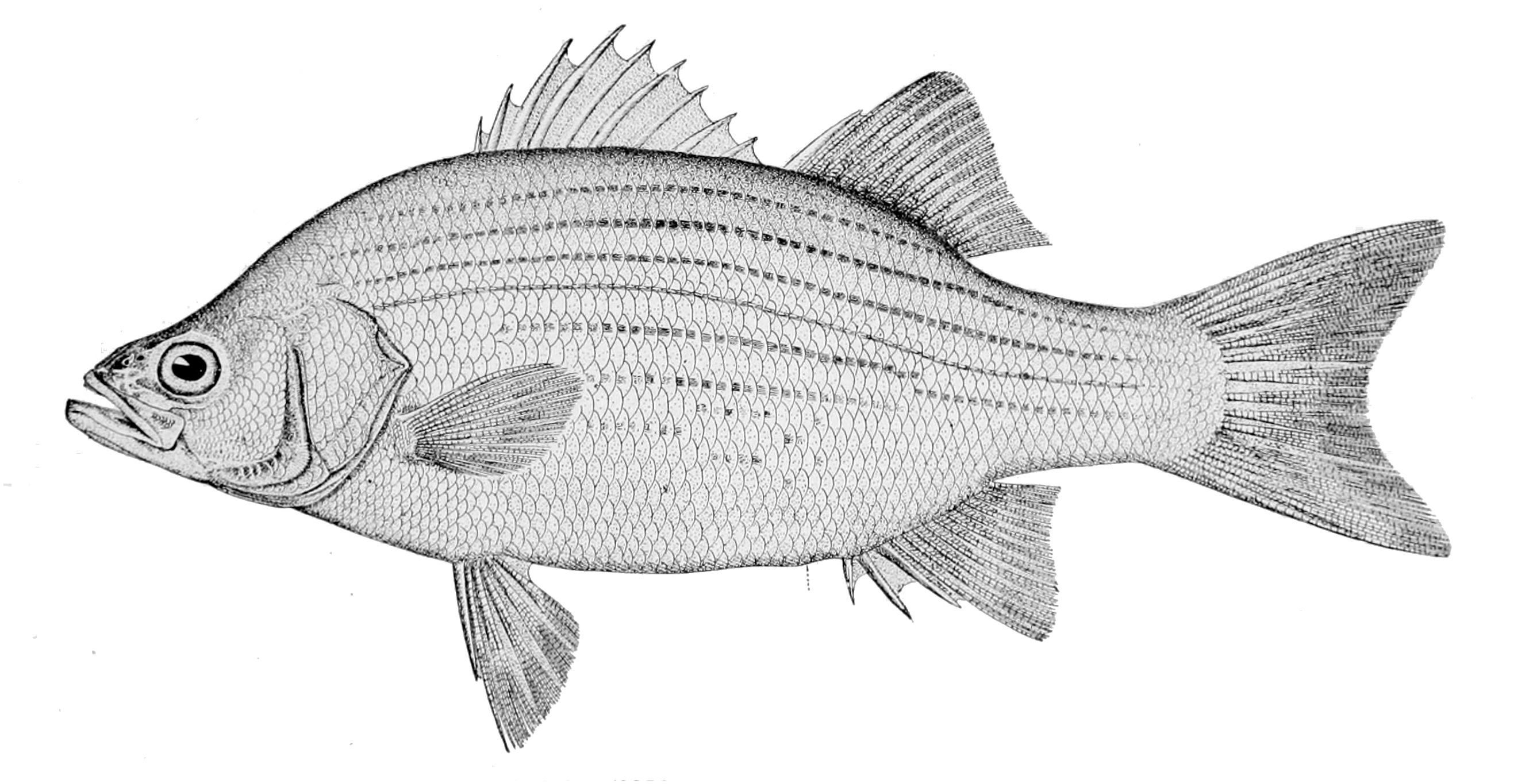
White Bass
Morone chrysops
✓ Optimal Temp
Smallmouth Bass
Micropterus dolomieu
✓ Optimal Temp

Muskellunge (Muskie)
Esox masquinongy
✓ Optimal Temp
🎣 Fished at Rough River Near Falls Of Rough At Dam, Ky?
Share your catch and help fellow anglers plan their next trip!
📝 Submit a Fishing Report →Location Details
- State: Kentucky
- Type: River
- Data Source: USGS
- Site Code: 03318010