Fall Creek Above North Fork, Near Lowell, Or Water Level
Current Elevation
2.89 ftWater Temperature
67.8° F
Warm
Pleasant temperature. Great for kayaking, paddleboarding, and active swimming.
30-Day Water Level Trend
Map & Location
GPS: 43.96722220°N, -99.99999999°W
❓ Frequently Asked Questions
Where is Fall Creek Above North Fork, Near Lowell, Or located?
Fall Creek Above North Fork, Near Lowell, Or is a River located in Oregon. The exact GPS coordinates are 43.96722220°N, -99.99999999°W. You can use these coordinates to get driving directions via Google Maps.
What is the Fall Creek Above North Fork, Near Lowell, Or water level today?
As of June 19, 2026, the water surface elevation at Fall Creek Above North Fork, Near Lowell, Or is 2.89 feet above sea level.
What is the current water temperature at Fall Creek Above North Fork, Near Lowell, Or?
The latest recorded water temperature at Fall Creek Above North Fork, Near Lowell, Or is 67.8°F, which is classified as "Warm". Pleasant temperature. Great for kayaking, paddleboarding, and active swimming.
Is it safe to swim or boat at Fall Creek Above North Fork, Near Lowell, Or?
Safety conditions at Fall Creek Above North Fork, Near Lowell, Or depend on current water levels, flow rates, temperature, and weather. Always check the latest data on this page before planning any water activities. Current water temperature is 67.8°F. We recommend checking local advisories and weather forecasts for the most up-to-date safety information.
Is Fall Creek Above North Fork, Near Lowell, Or good for fishing?
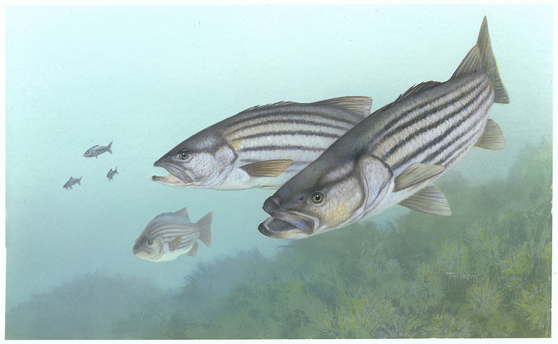
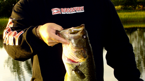
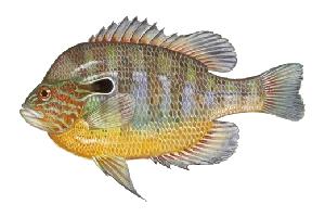
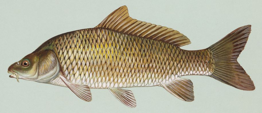
Fall Creek Above North Fork, Near Lowell, Or in Oregon is a popular destination for anglers. With a current water temperature of 67.8°F, conditions are suitable for warm-water species like catfish, crappie, and largemouth bass. Always verify you have the appropriate state fishing license.
Other Water Bodies in Oregon
Rattlesnake Point - Rpt
lake
Long Tom River Near Alvadore, Or
river
Nestucca River Near Beaver, Or
river
Rock Creek Above Bethany Lake, Near Bethany, Or
river
South Umpqua River At Melrose, Or
river
Sunshine Creek Near Damascus, Or
river
Johnson Creek At Regner Road, At Gresham, Or
river
Pudding River At Aurora, Or
river
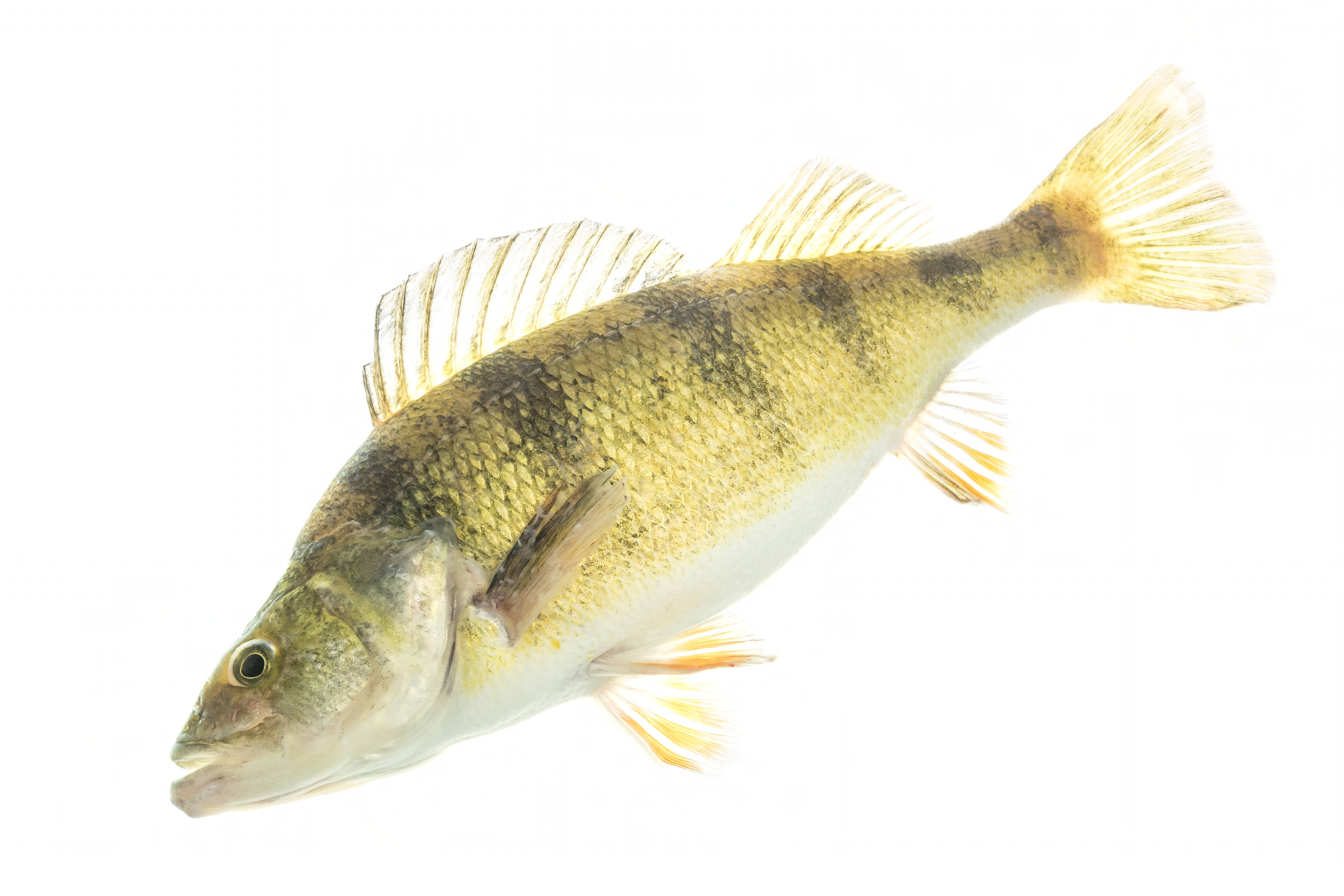
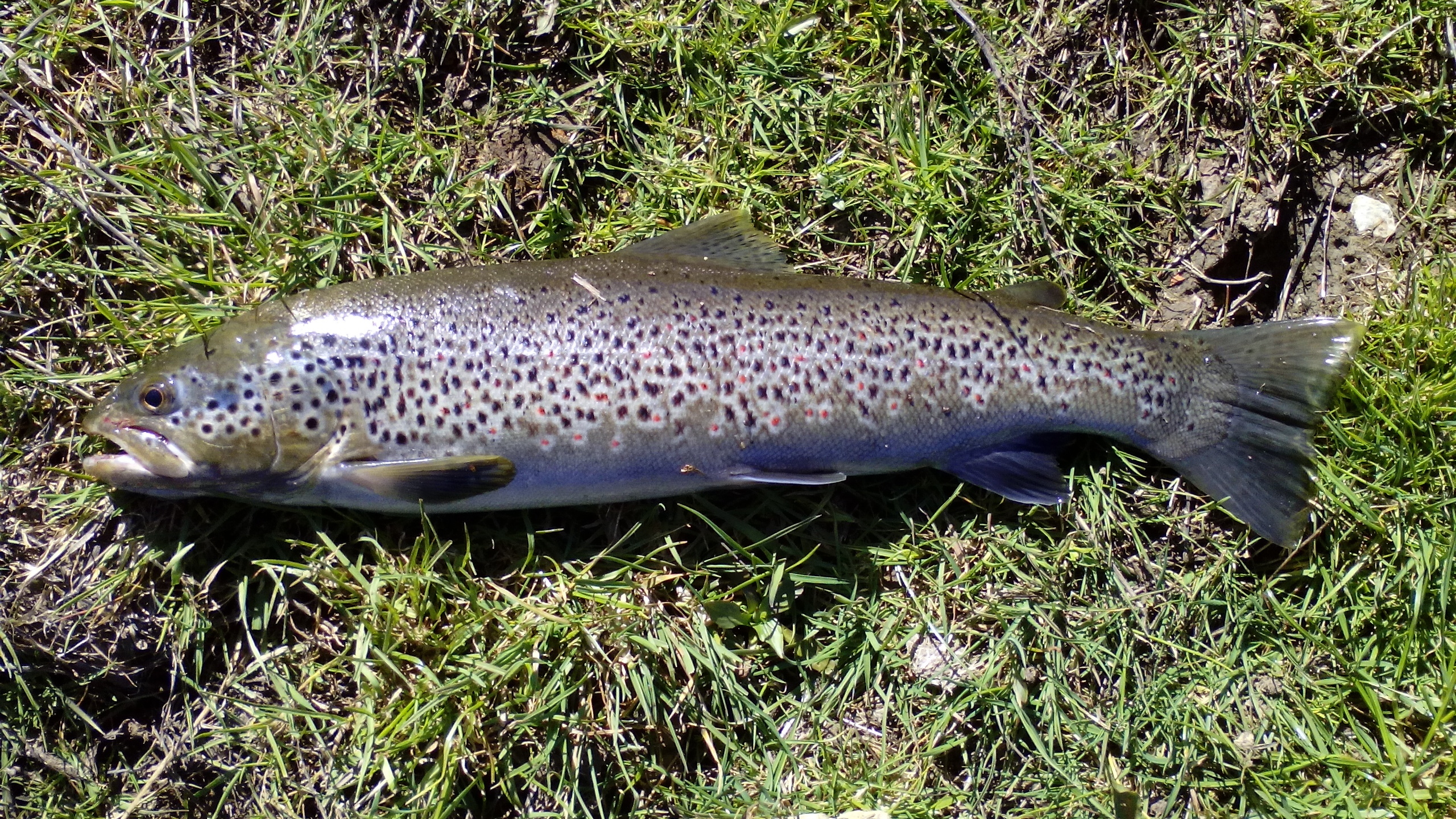
🐟 Fish Species at This Location
Based on the current water temperature of 67.8°F, these species are actively feeding in Oregon.
🎣 Fished at Fall Creek Above North Fork, Near Lowell, Or?
Share your catch and help fellow anglers plan their next trip!
📝 Submit a Fishing Report →Location Details
- State: Oregon
- Type: River
- Data Source: USGS
- Site Code: 14150290