Coosa River At State Line, Al/Ga Water Level
Current Elevation
14.29 ftWater Temperature
78.6° F
Very Warm
Very warm water. Excellent conditions for all water sports and recreation.
30-Day Water Level Trend
Flow Rate (Discharge)
Current flow is 3,530 cfs (cubic feet per second). Fast moving water! Exercise extreme caution. Not recommended for inexperienced paddlers.
Map & Location
GPS: 34.20194444°N, -85.45325000°W
❓ Frequently Asked Questions
Where is Coosa River At State Line, Al/Ga located?
Coosa River At State Line, Al/Ga is a River located in Alabama. The exact GPS coordinates are 34.20194444°N, -85.45325000°W. You can use these coordinates to get driving directions via Google Maps.
What is the Coosa River At State Line, Al/Ga water level today?
As of June 19, 2026, the water surface elevation at Coosa River At State Line, Al/Ga is 14.29 feet above sea level.
What is the current water temperature at Coosa River At State Line, Al/Ga?
The latest recorded water temperature at Coosa River At State Line, Al/Ga is 78.6°F, which is classified as "Very Warm". Very warm water. Excellent conditions for all water sports and recreation.
What is the current flow rate at Coosa River At State Line, Al/Ga?
The most recent discharge measurement at Coosa River At State Line, Al/Ga is 3,530 cubic feet per second (cfs). This data is provided by USGS and is updated daily.
Is it safe to swim or boat at Coosa River At State Line, Al/Ga?
Safety conditions at Coosa River At State Line, Al/Ga depend on current water levels, flow rates, temperature, and weather. Always check the latest data on this page before planning any water activities. Current water temperature is 78.6°F. We recommend checking local advisories and weather forecasts for the most up-to-date safety information.
Is Coosa River At State Line, Al/Ga good for fishing?
Coosa River At State Line, Al/Ga in Alabama is a popular destination for anglers. With a current water temperature of 78.6°F, conditions are suitable for warm-water species like catfish, crappie, and largemouth bass. Always verify you have the appropriate state fishing license.
Other Water Bodies in Alabama
Flint Creek At Red Bank Rd Se Nr Decatur, Al
river
Village Creek Near Pratt City, Alabama
river
Cahaba River At Trussville, Al.
river
Cahaba River Near Acton Al
river
Tombigbee River At Bevill L&D Nr Pickensville, Al
river
Coosa River At Wetumpka Al
river
Second Creek At Manbone Road Nr Waterloo, Al
river
East Fork Pinhook Cr At Winchester Rd At Huntsvil
lake
🐟 Fish Species at This Location
Based on the current water temperature of 78.6°F, these species are actively feeding in Alabama.
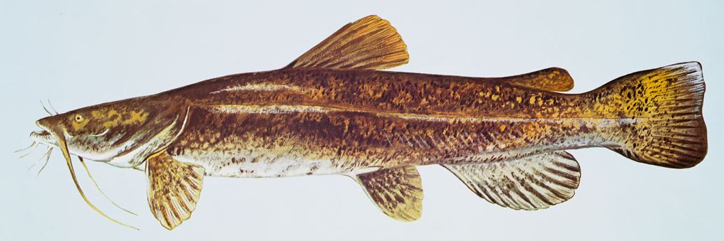
Flathead Catfish
Pylodictis olivaris
✓ Optimal Temp

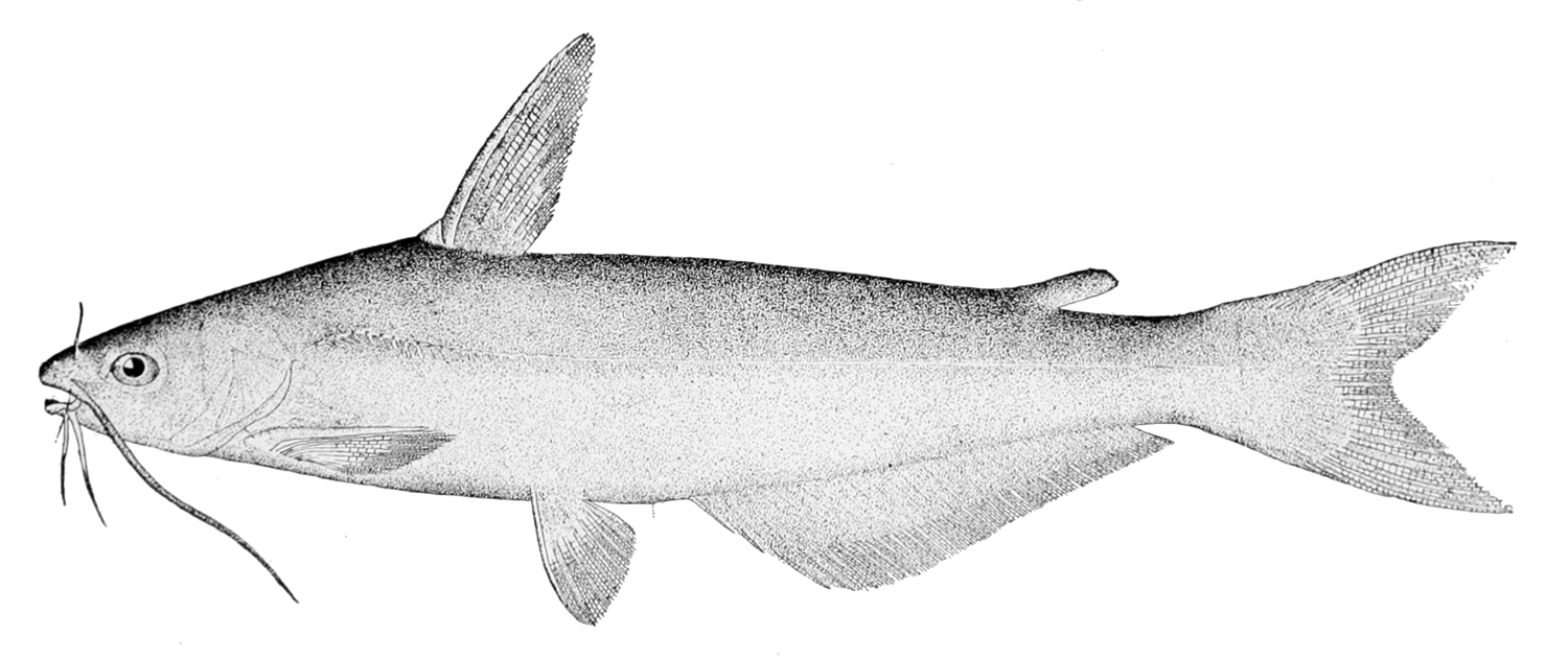
Channel Catfish
Ictalurus punctatus
✓ Optimal Temp
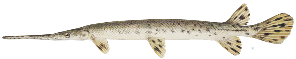
Longnose Gar
Lepisosteus osseus
✓ Optimal Temp

Redear Sunfish (Shellcracker)
Lepomis microlophus
✓ Optimal Temp
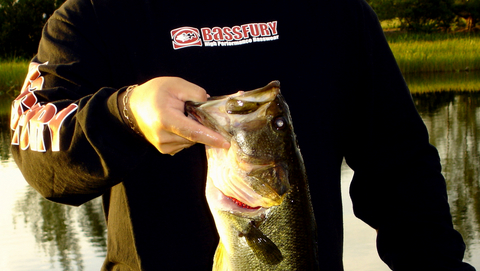
Largemouth Bass
Micropterus salmoides
✓ Optimal Temp
Blue Catfish
Ictalurus furcatus
✓ Optimal Temp
🎣 Fished at Coosa River At State Line, Al/Ga?
Share your catch and help fellow anglers plan their next trip!
📝 Submit a Fishing Report →Location Details
- State: Alabama
- Type: River
- Data Source: USGS
- Site Code: 02397530